Latest robotic total stations, mobile app integrate
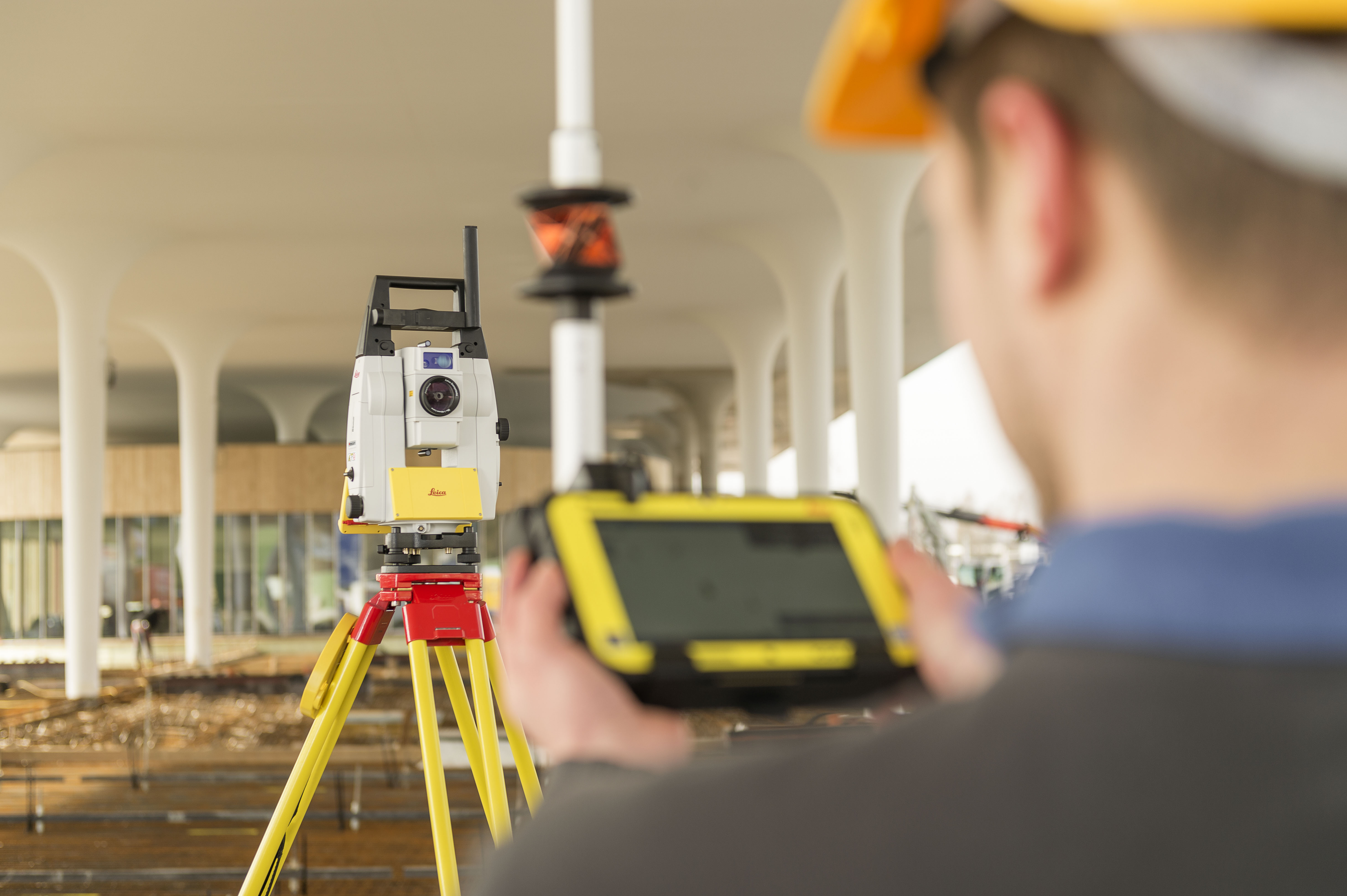
(Heerbrugg, Switzerland – 13 November 2018) – Leica Geosystems, part of Hexagon, today announced further cooperation with Autodesk to connect the latest robotic total stations for construction, the Leica iCON iCR70 and iCR80, with Autodesk BIM 360 layout mobile app, an industry construction management platform.

Leica Geosystems has furthered cooperation with Autodesk to connect the latest robotic total stations for construction, the Leica iCON iCR70 and iCR80, with Autodesk BIM 360 layout mobile app.
The continued collaboration between the two organisations centres around the expanding role of Building Information Modelling (BIM) in construction. This latest effort creates a seamless workflow sending positions from the robotic total stations to the mobile app to compare design data, increasing efficiency and productivity from field to office.With the integration to the iCR70 and iCR80 robotic total stations, BIM 360 Layout for iOS customers will be able to accomplish important layout and quality assurance and quality control (QA/QC) tasks by using models stored and coordinated in BIM 360 directly within the BIM 360 environment.
“In construction, connecting the model in the digital world with the real world is critical to project execution. Our collaboration with Leica Geosystems enables our customers to use the most modern total stations to lay out critical points and check the location of subcontractors’ work with ease,” said Ilai Rotbaein, senior director, Autodesk’s Construction Business Unit. “Construction is now moving at the speed of digital and by integrating Leica Geosystems’ robotic total stations and Autodesk BIM 360, we are providing a simplified and smarter construction process.”
Continuing collaboration
Leica Geosystems and Autodesk have together delivered added value to Architecture, Engineering and Construction (AEC) customers through multiple collaborations, including the introduction of the Leica BLK360 imaging laser scanner along with Autodesk ReCap Pro for Mobile. Both organisations continue to look for collaboration opportunities.
“We are pleased to continue advancing our cooperation with Autodesk by delivering to the building construction industry the most seamless workflow between models coordinated in BIM 360 and the precise point of construction,” said Moritz Lauwiner, Leica Geosystems vice-president of Geomatics product development. “BIM professionals will have access to the same iCON sensors that construction field engineers use with iCON build field software across main contractors and key trades such as concrete, steel and MEP [Mechanical, Engineering and Plumbing].”
Leica Geosystems – when it has to be right
Revolutionising the world of measurement and survey for nearly 200 years, Leica Geosystems, part of Hexagon, creates complete solutions for professionals across the planet. Known for premium products and innovative solution development, professionals in a diverse mix of industries, such as aerospace and defence, safety and security, construction, and manufacturing, trust Leica Geosystems for all their geospatial needs. With precise and accurate instruments, sophisticated software, and trusted services, Leica Geosystems delivers value every day to those shaping the future of our world.
Hexagon is a global leader in digital solutions that create Autonomous Connected Ecosystems (ACE). Hexagon (Nasdaq Stockholm: HEXA B) has approximately 19,000 employees in 50 countries and net sales of approximately 3.5bn EUR. Learn more at hexagon.com and follow us @HexagonAB.
For further information please contact:
Penny Boviatsou
Communications Manager
penny.boviatsou@hexagon.com
+41 41 727 89 60