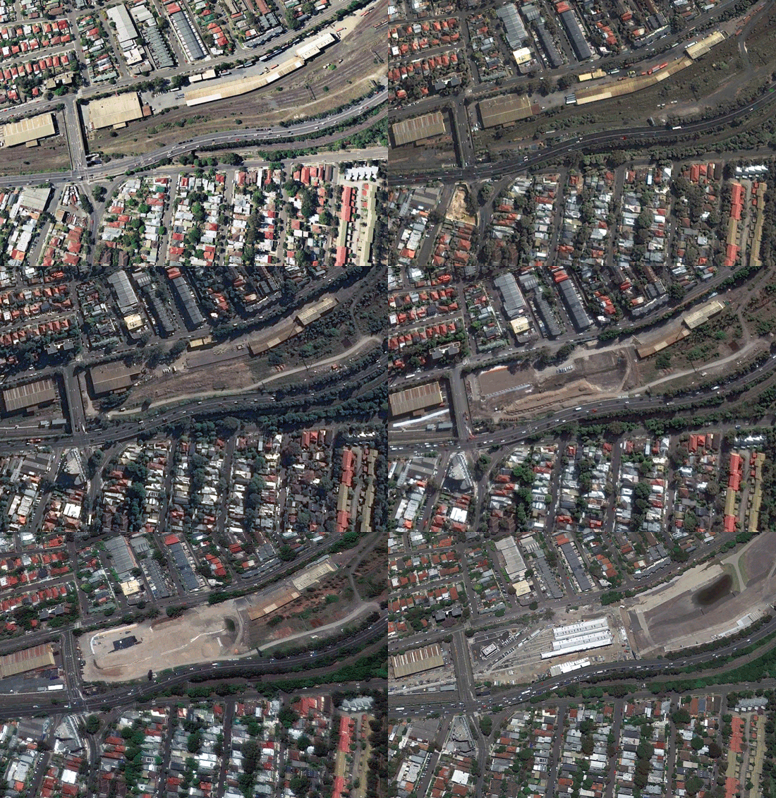
June 29, 2021 -- Satellite imagery is a powerful tool that can provide insights over any area of the Earth. For most people, the problem is that it has been challenging to access due to opaque or expensive pricing, complicated licencing, or a simple lack of choice.
Traditionally, the cost of satellite imagery can exceed $1,000USD per scene as selling and delivering satellite images remains a very manual process for most vendors. What results is an industry norm of Minimum Order Quantity (MOQ) in excess of 25sqkm, meaning that if you want to obtain an image of a single farm or a holiday house, you’re forced to purchase an image the size of a small city.

Sydney-based startup Arlula has solved this problem by developing technology that fully automates satellite imagery ordering and sales process at scale. You can now use Arlula’s API and developer tools to search through millions of global archive images from suppliers such as NASA, ESA and Maxar and place an order instantly.
In addition to this, Arlula is proud to announce the launch of its industry-first 1sqkm MOQ satellite imagery product. This means you can now buy the latest high-resolution images captured over any location on our planet for as little as $10USD.
This industry shift is already helping businesses benefit from more affordable data. For example, low-cost satellite imagery has enabled digital agriculture startup Agtuary to analyse farmland at scale, which agtech companies have traditionally struggled to do. In addition, thousands of other organisations worldwide are starting to take advantage of this new data to do amazing things, such as predict the price of global commodities, manage natural disasters or even fight climate change.
As companies like Arlula start to make satellite imagery more accessible, we will see thousands of new and unique applications emerge in a range of industries that will ultimately improve the quality of life on Earth. To find out more, you can visit https://www.arlula.com/


